How Hurricanes Form
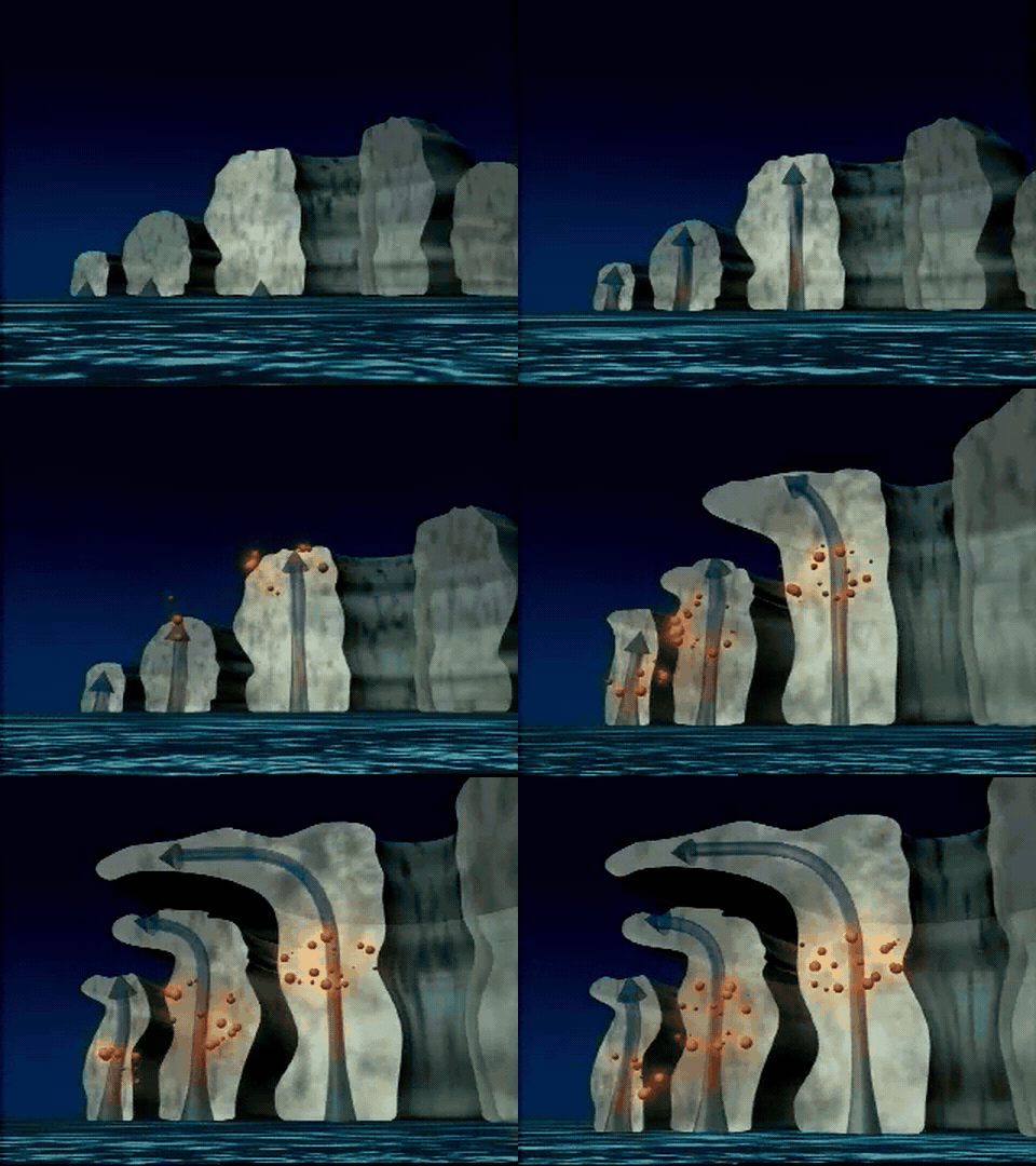
How do scattered ocean thunderstorms come to share one spinning center? Picture one cloud tower spreading out at the top as another starts to rise nearby. Either storm can fade. What can last is the flow of warm, moist air toward the same patch of ocean, feeding one thunderstorm after another.
A place for storms to gather
One starting point is a tropical wave, a traveling disturbance in the winds that brings surface air together. A hurricane usually needs to form at least several degrees from the equator. There, Earth’s rotation gives moving air enough of a sideways turn to help a broad circulation develop. This turning is called the Coriolis effect.
NOAA’s ingredients include ocean water typically about 26.5 °C (80 °F) or warmer through a layer roughly 50 meters deep or more. Humid air midway up the atmosphere helps clouds grow tall. Weak vertical wind shear means the winds change little in speed or direction with height, allowing thunderstorms to stay over the developing center.
How the ocean supplies energy
Evaporation takes energy from the warm sea as liquid water becomes invisible water vapor. Where surface winds converge, or flow together, moist air rises. Pressure decreases with height, so the rising air expands and cools. When it cools enough, vapor condenses into tiny liquid cloud droplets. Condensation releases the energy absorbed during evaporation, called latent heat, into the surrounding air.
Q = m × Lᵥ
Q is the heat released in joules, a unit of energy. The mass of vapor that condenses is m, measured in kilograms. For water, Lᵥ ≈ 2.5 million joules per kilogram. Since 1 gram is 0.001 kg, condensing just 1 gram of vapor releases about 2,500 joules.
To picture a kilogram of water, imagine catching rain in a flat tray. The water volume (V) equals the tray’s area (A) times the water depth (h).
V = A × h
A layer 1 millimeter deep over 1 square meter gives you 1 liter of water, about 1 kilogram. The tray measures what reaches the ground. Some water that condenses overhead stays in the cloud, drifts elsewhere or evaporates on the way down.
How the center strengthens
The released heat helps rising air stay warmer than its surroundings and keep climbing. Near the cloud tops, air spreads outward. This is upper-level outflow. Surface pressure comes from the weight of the air column above each square meter of ocean. If outflow removes air faster than winds below replace it, the column loses mass and surface pressure falls.
Surrounding air flows toward the lower pressure. In the Northern Hemisphere, it spirals inward counterclockwise, bringing more water vapor to feed thunderstorms around the same center.
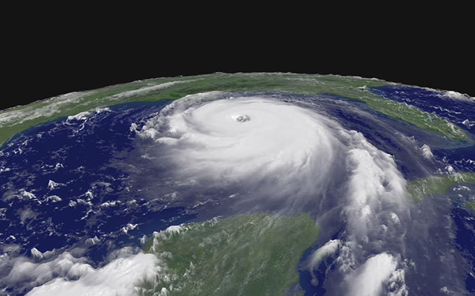
The National Hurricane Center classifies an Atlantic tropical storm as a hurricane when its strongest surface wind averages at least 64 knots, roughly 74 mph, over one minute. NOAA’s satellite image of Hurricane Katrina on the cover shows a mature hurricane. Air sinks in the relatively calm center, called the eye. Around it, air rises in a ring of towering thunderstorms called the eyewall, where the winds are strongest.
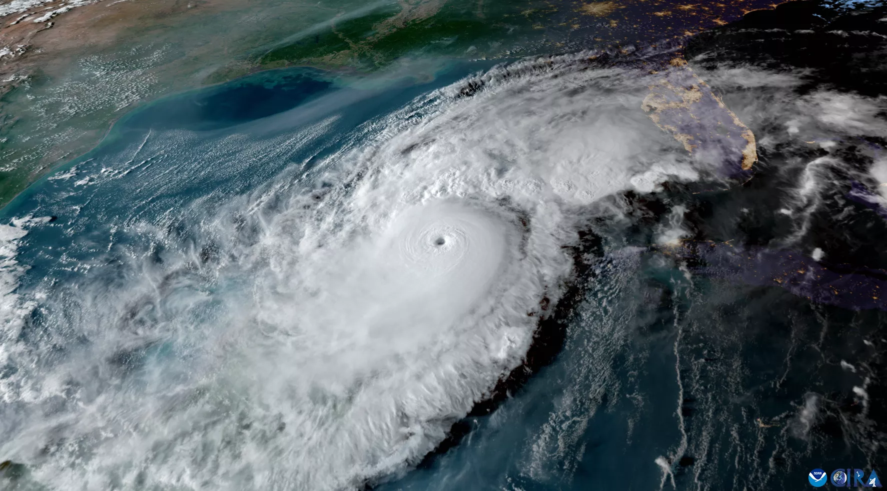
Over land, the storm loses its ocean supply of heat and moisture. Dry air mixing into a thunderstorm can make droplets evaporate, cooling the air and slowing its rise. Strong vertical wind shear can push thunderstorms away from the surface center, disrupting the cycle.
Check your understanding
Imagine a developing storm stays centered over a weather buoy. Low clouds stream inward, yet the buoy records falling pressure. How can pressure fall while air is flowing in?
More air is leaving the column overhead than is entering near the sea. The column above the buoy gets lighter even as the incoming air feeds the next thunderstorm.